From massive open-pit mines to expansive oil sands operations, surface mining is a complex dance of engineering, geology, and logistics. Discover the top five challenges mine planners, geotechnical engineers, and operations teams face—from unpredictable overburden to managing real-time slope stability—and how to transform these challenges into opportunities for enhanced safety and productivity.
Why Modern Surface Mining Demands Integrated Data Intelligence
Successful surface mining hinges on continuously adapting to the ground beneath you. The “design” is never static; it’s a live model that must evolve with every blast, every cut, and every weather event. The margin for error is measured in stability factors, haul cycle times, and regulatory compliance.
From the initial pit design to day-to-day operations and long-term closure planning, teams must reconcile geological models with observed conditions, balance aggressive production targets with immutable geotechnical risks, and make critical decisions under pressure to protect both people and profit.
Challenge #1: Designing Stable Slopes with Incomplete Subsurface Data
During the feasibility stage, engineers design pit walls, waste dumps, and tailings storage facilities based on limited borehole data and regional models. The true complexity of geologic structures, groundwater regimes, and material strengths is often revealed only during excavation.
This uncertainty can lead to overly conservative designs that sterilize resources or, conversely, to failures that necessitate unplanned remediation, schedule delays, and costly operational adjustments. The core challenge is optimizing the economic pit shell while managing the inherent risk of the unknown.
Challenge #2: Balancing Geotechnical Safety with Aggressive Production Schedules
The core tension in any surface mine lies between the geotechnical team’s mandate for long-term slope stability and the operations team’s pressure to meet quarterly production targets. Pushing a pit wall for faster access or minimizing pre-stripping can create immediate production gains but introduce long-term instability risks.
Mine planners and consultants are tasked with finding a safe, sustainable path through these competing priorities. Designs must be technically sound for the life of the mine and practically executable within the relentless pace of the mining cycle, requiring constant negotiation and data-backed justification.
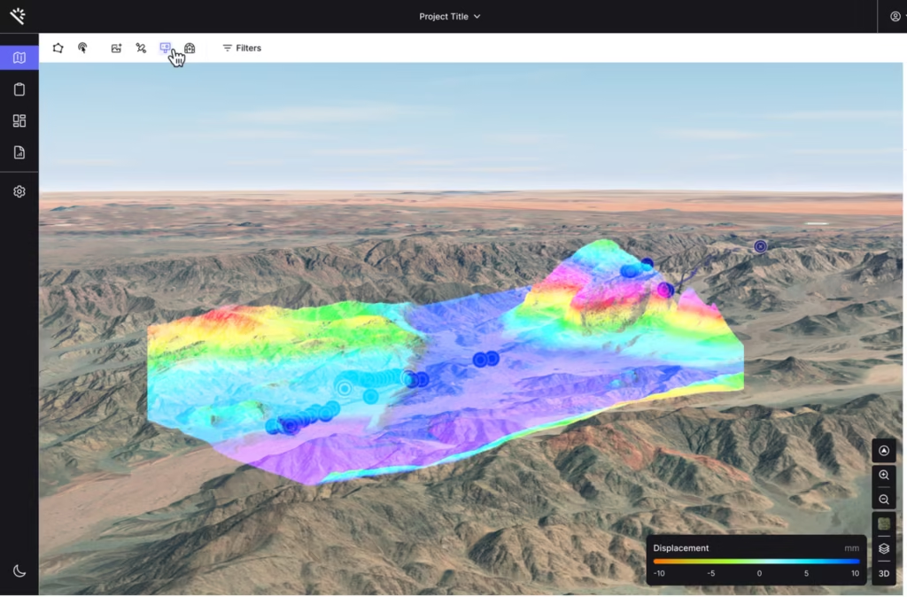
Challenge #3: Managing the Risk of Changing Ground Conditions in Real-Time
Initial geotechnical models are based on best-available data, but the pit face is the ultimate test. A shear zone encountered in a new cut, unanticipated water seepage, or changing material properties in a waste dump can instantly invalidate assumptions.
The critical operational challenge is having a system to rapidly compare design assumptions against live data from the field—face mapping, geotechnical instrumentation, and drone surveys. Without this, teams risk continuing with a flawed model, leading to slope failures, unplanned downtime, or hazardous working conditions.
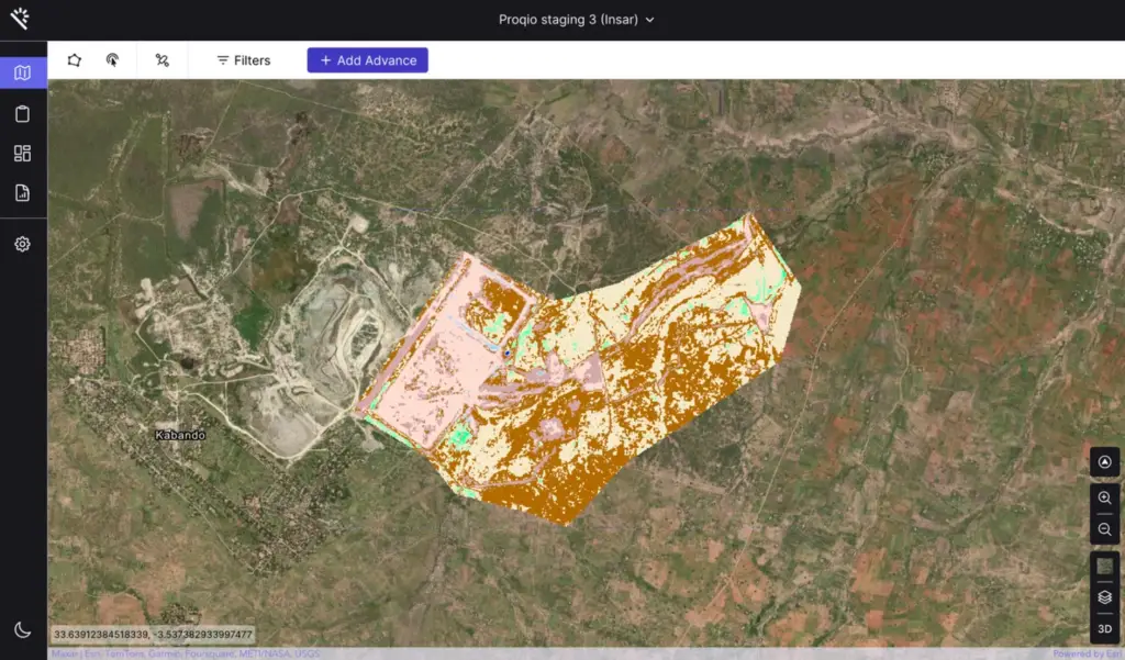
Challenge #4: Maintaining a Single Source of Truth for Monitoring & Compliance
A surface mine generates a flood of data: slope radar readings, piezometer levels, GPS dozer paths, water quality samples, and inspection reports. This data is often siloed—geotechnical databases, survey software, fleet management systems.
The immense challenge is synthesizing this information into a coherent picture of site-wide stability and compliance. Disconnected data leads to reactive decision-making, missed early warning signs of instability, and a fragmented, inefficient approach to regulatory and ESG reporting, which is critical for operations like oil sands and coal mining.
Challenge #5: Adapting Operations Immediately to Weather & Geotechnical Hazards
Surface mining is at the mercy of the elements. An intense rainfall event can saturate a slope, a freeze-thaw cycle can weaken a highwall, or monitoring data can show accelerating movement in a critical area. Operations must adapt within hours, not days.
This requires immediate, unified access to all relevant data: live rainfall totals, pore-pressure readings from the affected sector, current equipment locations, and the latest stability model. Without this synthesis, the response is delayed and based on incomplete information, risking safety incidents, significant economic loss, and environmental impact.
Turning Surface Mining Challenges into Controlled Outcomes
These five challenges define the high-stakes environment of surface mining. Overcoming them requires replacing fragmented, reactive workflows with a proactive, data-integrated approach that unifies geology, planning, operations, and monitoring.
Explore how integrated data intelligence transforms surface mining. Download our insight paper, “From Pit Design to Live Operations: Mastering Stability in Surface Mining,” or contact us to see how a unified platform creates a single source of truth for geotechnical data, operational telemetry, and monitoring insights, enabling faster, safer, and more productive decisions.